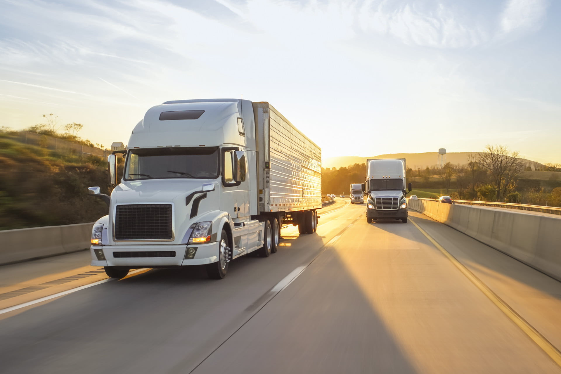
LiDAR technology has become an indispensable tool for different industries around the world. What used to be a specialist technology for studying the atmosphere and clouds has become a well-known system with a range of applications.
One of the reasons LiDAR has become more well-known is because it has played a major role in improving our roads. From speeding up the highway planning process to preventing collisions, LiDAR is responsible for some of the world’s best roads. Here are some of the ways LiDAR technology is making our roads better than ever. Reach out to CompassData, Inc., if you need to carry out a survey to better your decisions.
LiDAR Can Be Used to Check and Monitor Road Condition
LiDAR doesn’t just identify dimensions and distances — it can also detect the texture of the road — potholes, wear and tear, and the road’s overall condition.
This information can help authorities and highway planning agencies identify areas of road that need improving. With airborne and mobile LiDAR systems, assessing road conditions becomes a much quicker job as many miles of road can be scanned in a single day.
And with a more efficient way to check road conditions, road works are scheduled and completed much more quickly. So you don’t have to worry about potholes becoming permanent features on your local roads. The whole process from assessing road conditions, to improving roads becomes much more productive.
LiDAR Can Identify Potential Collisions and Safety Hazards
The measurements collected during LiDAR scanning make up a point cloud — a database of 3D coordinates. This point cloud can then be digitized using specialty CAD software which will transform complex data into a 3D digital image or map. The scanned environment can then be further analyzed with point cloud software, and new designs can be simulated, all in the safety of the digital world.
The ability to interact with roads in a virtual setting means that both current conditions and suggested changes can be tested without risk. Advanced point cloud software even enables vehicle simulations for clash detection and/or clearances, line of sight, theoretical curve speeds, International Roughness Index (IRI) and more. You can move these virtual vehicles or rail-carts through the 3D map of the scanned corridor, in order to see the interactions with its surroundings.
LiDAR Is Making Cars Safer
Another way LiDAR can prevent collisions is by actually making cars safer to drive. LiDAR systems are fitted onto vehicles, but rather than scanning for mapping purposes, they’re used mainly for active obstacle detection. Analog Devices will provide an useful content of its modular FPGA Development Platform. They’ll discuss the hardware features for automotive and industrial LIDAR applications, as well as ways in which it can help us serve our customers better.
This usually applies to autonomous cars, however the technology is ever-developing and has even made its way into non-self-driving vehicles as a passive or active system – think Advanced Driver Assistance Systems (ADAS). And LiDAR is at the heart of this future generation of vehicles, right alongside its cousin RADAR!
LiDAR is allowing cars to detect obstacles in all directions, in order to drive, reverse, and change lanes without colliding with other vehicles.
LiDAR Analysis Tools Can Calculate Maximum Speed Advisories
With LiDAR Analysis tools the Transport Agencies can verify if a posted speed limit is indeed safe, or if it needs to be updated. Point cloud data software essentially takes data from LiDAR and — using vehicle simulation and curve measurements — calculates a theoretical maximum speed for curves in the road.
Traditionally, data collected for these calculations was done via the ball-bank method, which in itself is a smaller separate instrument used outside of the surveying and mapping industry. Mobile laser scanning data has the added value of collecting all surface information in one trip, which allows for an accurate survey and a variety of additional simulations. Not only does LiDAR provide a unified solution for multiple applications, it’s also much faster than using traditional methods of data collection.