Ground penetrating radar was first used to map geological features. However, it is now used for numerous civil engineering survey applications. It is also referred to as ground radar, surface penetrating radar, sub surface radar, impulse radar or ground-probing radar.
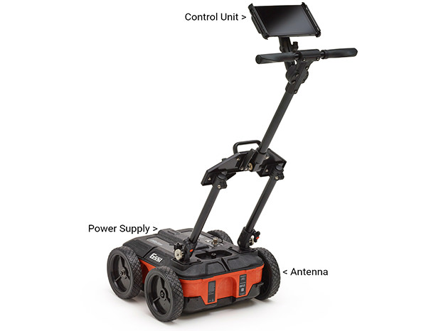
A GPR survey is usually non-invasive and non-destructive. It is usually used for exploring subsurface features. Most civil engineers categorize GPR as highly-flexible NDT survey technique. GPR is used for different types of surfaces such as masonry, soil, asphalt and concrete.
Ireland’s Ground Penetration Radar specialists explain the various applications for ground penetrating radar?
Various companies offer different types of ground penetrating survey services. Here are some of the common ones used in the construction niche.
- Construction Detail Survey – GPR allows general construction arrangements to become clear. It shows the thickness of the various layers, location of the structural steel and changes in materials.
- Concrete Mapping Survey – GPR can be used on different types of concrete construction projects such as decks, floors, walls, slabs, tunnels and balconies. It offers a greater depth and the best accuracy compared to most of the survey methods. It can be used to locate and map rebar, tendons and conduits effortlessly.
- Floor Slab Survey – It is a rapid survey that offers actionable details on any slab construction such as reinforcement distribution and overall thickness. GPR is also used for detecting and mapping the voids underneath slabs. It comes in handy when identifying the trouble spots in slabs that experience a lot of traffic such as warehouse floors before anything happens.
- Chimney Flue Location Survey – It is a non-intrusive tool that is used in mapping chimney flues in any construction project. Results are usually delivered as CAD drawings then marked up on-site.
- Embedded Steel Location – A simple GPR radar survey can easily find embedded steel in any masonry construction. It is non-intrusive so it is commonly used to investigate historical buildings as well as listed ones.
- Road/Runway/Pavement Survey – GPR is often used to identify the thickness of different paving layers. It is used to identify sub-basement voids and spotting any areas where layers are starting to de-bond.
- Utility Survey – Ground penetrating radar is the best tool for identifying metallic or non-metallic utilities non-intrusively underneath the surface. It is used to identify water, sewer, gas, electric, fiber optic and telephone utilities.
- Buried Object Location – These surveys come in handy when searching buried objects of different kinds. They can be used to locate underground storage tanks, finding gravesites and for forensic investigations.
- Hazardous Waste – Once buried pipes, storage tanks and drums are identified, GPR can be used to detect contamination and leakage.
- Foundation Investigation Survey – It is used to provide comprehensive data used for footings and foundations. It is used to locate, map and identify the conditions of any subsurface work.